AI Image Created By Flux AI Image Generator
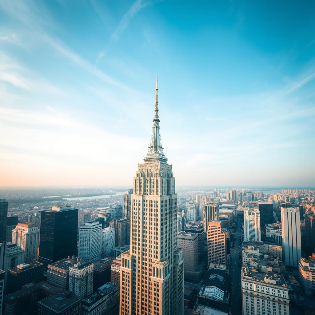
Image Analysis
Emotional Analysis
Application Scenarios
Urban Planning Visualization
Description: Creating urban planning visualizations.
Potential Use: Helps city planners and architects visualize proposed buildings in context.
Tourism Promotion
Description: Generating promotional materials for city tourism.
Potential Use: Attracts tourists by showcasing cityscapes from unique perspectives.
Environmental Impact Simulation
Description: Simulating environmental impacts of new construction.
Potential Use: Assesses how new buildings affect urban heat, green spaces, and wildlife.
Smart City Mapping
Description: Designing interactive maps for smart city initiatives.
Potential Use: Optimizes urban navigation and city resource management through aerial views.
Educational Resource Development
Description: Educational tools for geography and urban studies.
Potential Use: Enhances learning by providing aerial perspectives of urban layouts and structures.
Technical Analysis
Quality Assessment: The generation of the aerial city view is strong, effectively conveying scale and complexity.
- Realistic representation of urban environments.
- Ability to adjust perspective based on viewer preference.
- Integration with GIS data for accuracy.
- Inclusion of more dynamic elements like traffic or people.
- Better texture details for realism.
- Enhanced lighting effects for depth.